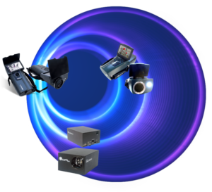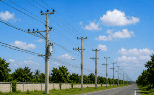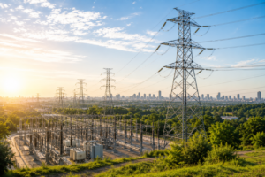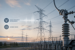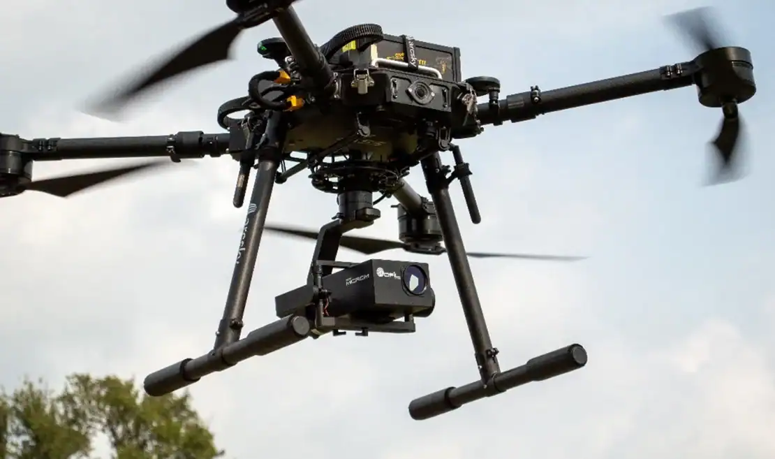
Drone-based inspections enable utilities to collect high-resolution *RGB, thermal, and UV data* more safely and efficiently across transmission and distribution networks. By combining these complementary sensing technologies, inspection teams can gain a more complete understanding of asset condition — from visible physical defects and heat-related anomalies to early-stage electrical stress detected through UV imaging.
The article also examines the growing importance of connecting inspection findings with *GIS and asset information, allowing utilities to move beyond isolated images and reports toward structured condition assessment and maintenance prioritization. Platforms such as **Gridnostic* support this approach by bringing multi-sensor inspection data, geographic context, asset information, and severity analysis into a unified environment.
Looking ahead, AI and geospatial intelligence are expected to play an increasingly important role in identifying anomalies, correlating findings across multiple sensor types, recognizing network-level patterns, and ultimately supporting more predictive approaches to asset management.
Originally published by Power Systems Technology.